

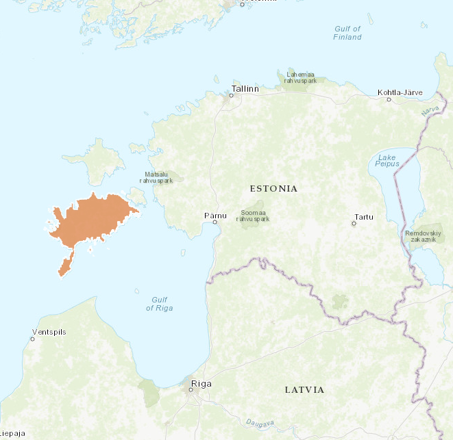
Saaremaa municipality – from small Lümanda municipality to the whole Saaremaa island, Estonia
The initial project area Lümanda was a small municipality (199 km²) located at the western edge of Saaremaa island. It can be characterised as a very remote area with pristine nature. It was selected as a project area because it was one of the 3 pilot areas where agri-environmental subsidies were developed and tested first in Estonia (in 2001-2003) meaning that there is ca 15 years of grassland management experience with agri-environmental subsidies. In January 2015 Lümanda joined with two neighbouring municipalities forming Lääne-Saare Municipality. Administrative reform continued in October 2017 when all municipalities on Saaremaa island decided to join into one Saaremaa Municipality (2712 km²). For better application of project results, it was decided to expand also the project area accordingly.
Project activities
- The integrated planning tool tested at the municipality level. Project team has initiated stakeholder testing and discussions for further improvements of the Tool. Saaremaa Municipality was a test case for Green Network application of the Tool. Recommendations for municipality green network planning were developed.

- Assessment of grassland management in Lümanda during the last 20 years was done.

- A notice board introducing grasslands and their ecosystem services in Lümanda area was erected.
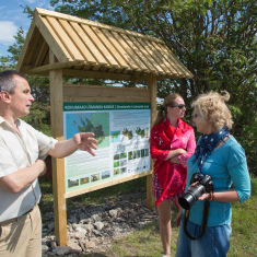
- Visitor days were organised in July 2016, September 2017 and September 2018