
It is the main dataset of “Viva Grass tool”, the foundation map, on which we base all our analysis, which includes information about grasslands or arable land and it’s ecosystem services in 3 Baltic States. In this dataset you will find information about land use, land quality, relief, ecosystem services of the exact plot, also some additional information like recommendations for management, information about semi-natural grassland belonging to habitats etc.
The methodology used to construct the Viva Grass Basemap is based on the concept that the potential supply of ES is determined by the interaction of natural capital attributes, comprising both biotic and abiotic component and human inputs and management strategies. Based on this notion, the Viva Grass Basemap is the result of the spatial overlaps between three geodatastes:
(1) Land quality (Low, medium, high land quality soils and organic soils)
(2) Slope (plain, gentle and steep slope)
(3) Management regime (Semi-natural, permanent, cultivated grassland, arable land)

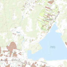
Basemap in “Viva Grass Viewer”
The processing of spatial datasets produced 30 grassland classes and 10 additional arable land classes.
Explore the dataIf you want to get the raw data file, request it pressing the button bellow.
Request raw data